Mar 1, 2019
A Passion for Teaching and the Future of GIS
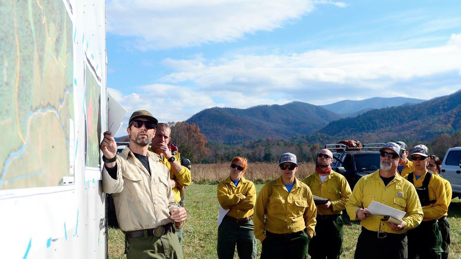
For the past eight semesters, Geospatial Analytics Ph.D. candidate Jason Matney has taught hundreds of students as a graduate teaching assistant and course instructor at NC State. As he prepares to defend his dissertation, he reflects on his experience and the future of his field.