
Staff

Aug 5, 2019

Data Visualization Tool Allows Raleigh Residents to Monitor Development

NC State’s Center for Geospatial Analytics is developing an innovative, 3D public engagement tool to visualize development.  

Aug 1, 2019

Military Student Brings Lawmakers and Veterans Together Outdoors to Create Change

U.S. Army Captain Matthew Arevian is bringing stakeholders together to show the impact of the outdoors to veterans. 

Jul 22, 2019

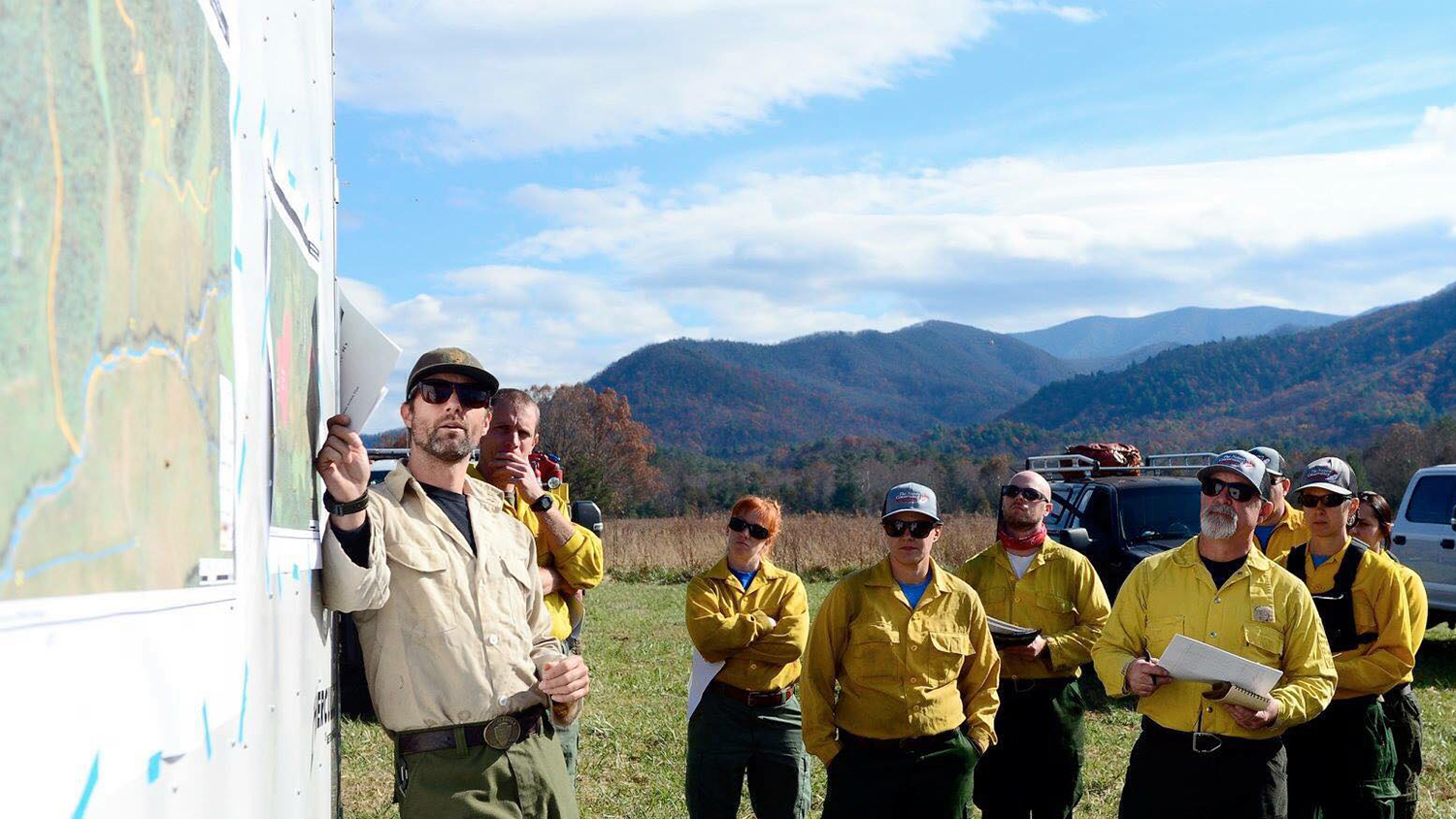
Where Fire is a Treatment, GIS Helps Prescribe It

Maps have always been essential to managing fires on public lands. New geospatial technologies go beyond paper maps to help federal agencies like the National Park Service treat and restore fire-dependent landscapes. 

Jul 15, 2019

A New Way to Help Stop Insect Pests in Their Tracks

The spotted lanternfly is one of many invasive insect pests causing economic and ecological damage in the US. A new geospatial decision-support tool developed at NC State is helping managers to curb their spread. 

Jun 16, 2019

Partnership with Wake County a New Think (and Do) Tank for Harnessing Spatial Data

Through a new partnership called Geo-IDEAS, NC State’s Center for Geospatial Analytics and Wake County government are innovating the future of spatial analysis and decision-making. 

May 10, 2019

Graduation to Vocation: Online Master’s Degree Crucial to Career in Tourism Marketing

Taira Landavere will use her online masters in her role as director of marketing for a tourism organization. 

Apr 17, 2019

Design to Address Stormwater Infrastructure Issues

Juhann Waller is pursuing his Doctor of Design degree with NC State in hopes of mitigating stormwater infrastructure issues that derail communities. 

Apr 11, 2019

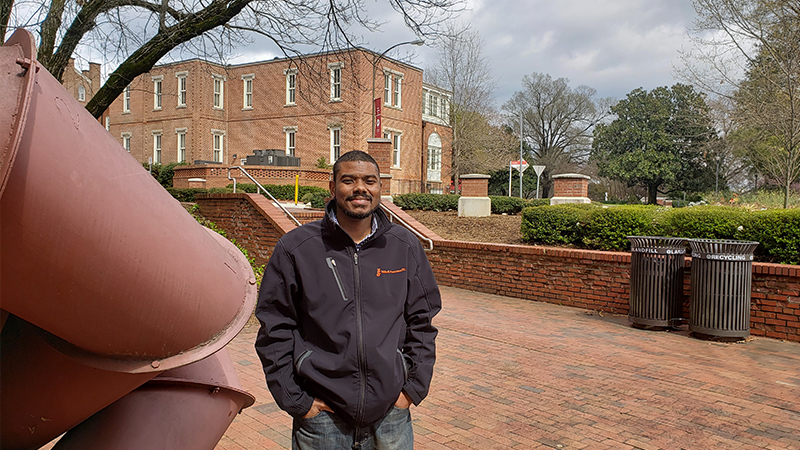
A New Reality for Online Education

Online instruction at NC State is taking on a whole new meaning, thanks to emerging virtual reality technologies and the innovative folks at DELTA who adapt them for faculty and staff to use. 

Apr 11, 2019

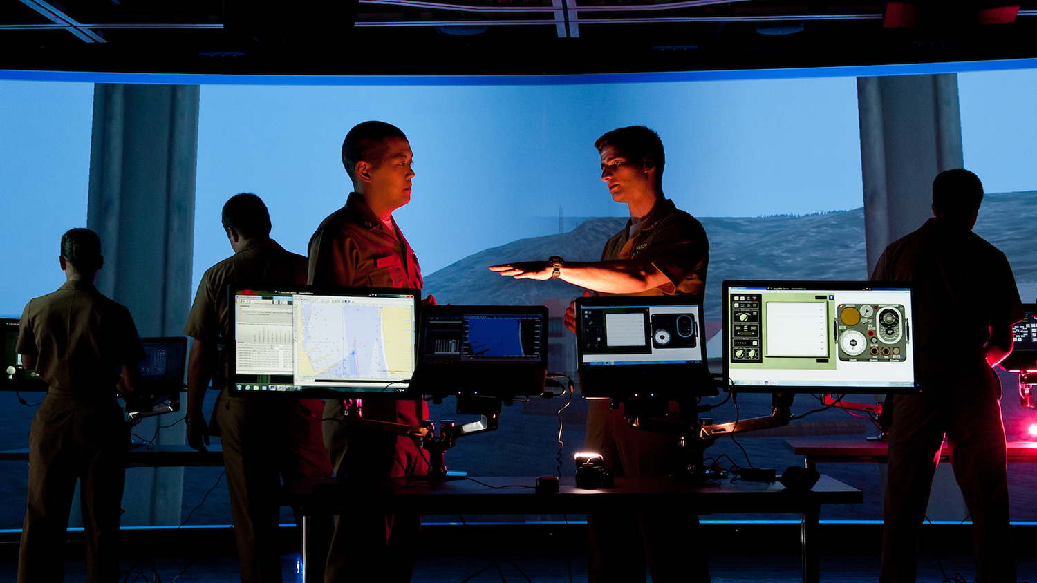
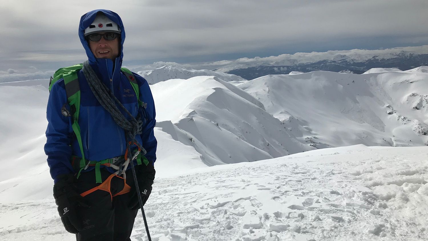
Military Students Choose MGIST for Career Training in Geospatial Intelligence

The Center for Geospatial Analytics’ MGIST ranks second only to NC State’s MBA as the graduate program with the most military enrollment across the university. 

Apr 2, 2019

Ready Player Two: Virtual Reality in the Geospatial Sciences

Ph.D. student Payam Tabrizian uses virtual reality and geospatial analytics to learn about human cognition and advance landscape design. We asked him about his current research and his predictions for the future of the field.